
James
Members-
Posts
210 -
Joined
-
Last visited
-
Days Won
51
Content Type
Forums
Gallery
Events
Shop
News
Audio Archive
Timeline
Everything posted by James
-
From the album: Doctor Pit and Rows
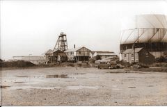
The Mechanic’s pitch looks a bit waterlogged! -
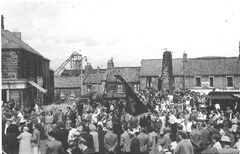
Picnic day in the 1960’s with the Dr Pit headgear in the background.
James posted a gallery image in Historic Bedlington
From the album: Doctor Pit and Rows
Picnic day in the 1960’s with the Dr Pit headgear in the background. -
From the album: Doctor Pit and Rows
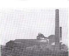
The John pit is in the foreground with its steam driven fan. This was taken in the 1920’s before the winder was installed for man riding. -
From the album: Doctor Pit and Rows
-
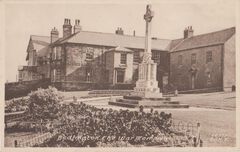
TSB - Institute and War Memorial.jpg
James commented on Alan Edgar (Eggy1948)'s gallery image in Historic Bedlington
All of the institute, including the library was situated on the top floor of the building. It was in a small alcove at the end of the institute; not where the arrow is pointing which was a private house. It was not a public library but for members of the institute, i.e. employees of the Doctor pit. The arrow should point to the area on the top floor of the building mid- way between the window to the right of the war memorial and the end of the building adjoining the house. -
-
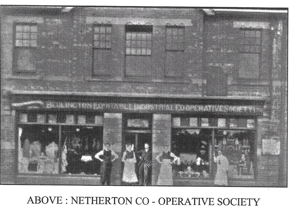
According to one of the "Bedlingtonshire Revisited" booklets, there was a branch of the Bedlington Coop at Netherton Colliery
-
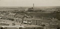
Market Place 1930_Dr_Pitt.jpg
James commented on Alan Edgar (Eggy1948)'s gallery image in Historic Bedlington
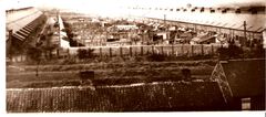
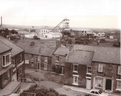
Some of the names of the rows are incorrect. The photo has been enlarged and cropped and has cut off Shiney Row which can be seen on the extreme left of the main photo. Telephone Row and Cross Row are correct but - Shiney Row should read Doctor Terrace. Doctor Terrace should read North Terrace. North Terrace should read New South Row. This is an interesting photo as it shows two winding houses. It shows a new brick built electric winding house (it was later painted white) and in front of it the old steam driven winding house. As I mentioned in a previous posting the steam driven winder was replaced with the electric winder in 1921. So there was loss in production, the new winder house was built behind the old one. The pulley ropes from the old winder were then passed through to the new electric winder and the old steam driven winder house with its chimney demolished. (Information taken from James Tuck’s book “The Collieries of Northumberland”) This photo show both winding houses in 1921 so it was taken exactly 100 years ago this year! -
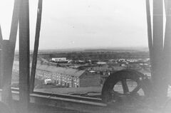
New South Row, Begbies garage and allotments from the John Pit headgear.jpg
James posted a gallery image in Historic Bedlington
From the album: Doctor Pit and Rows
-
From the album: Doctor Pit and Rows
-
From the album: Doctor Pit and Rows
-
From the album: Doctor Pit and Rows
-
From the album: Doctor Pit and Rows
-
From the album: Doctor Pit and Rows
-
From the album: Doctor Pit and Rows
-
From the album: Doctor Pit and Rows
-
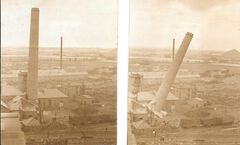
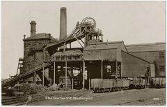
Dr Pit in 1912 with the surface workers posing for the photo. Note the guy on top of the headgear next to the “pulley wheels”. This old winder house was for the steam driven winder and was replaced with the electric winder in 1921. So there was loss in production, the new winder house was built behind the old one and the electric winder commissioned. The pulley ropes from the old winder were then passed through to the new winder to the electric winder and the old winder house with its chimney was demolished. (Information taken from James Tuck’s book “The Collieries of Northumberland”) We know that any photo of the Dr Pit showing the white brick built winder house was taken after 1921.
-
From the album: Doctor Pit and Rows
-
Old Colliery Row 1897 OS (2).png
James commented on Canny lass's gallery image in Historic Bedlington
The Old Colliery Row, better known as “The Aad Pit Raa” was built in 1840, 15 years before the Dr Pit was opened. According to Stephen Martin’s book it was built by a farming family, The Swann Brothers to rent to miners who were moving into Bedlington to work on collieries that were opening up in the vicinity. The Colliery Row was initially leased then sold in 1892 to the Bedlington Coal Company. The row was demolished along with Bell’s Place in 1950. Hollymount Square was built on this area immediately after the demolition of the rows. -
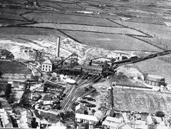
Of all the photos I’ve seen of the Dr Pit, this is the only one that shows the Drift. The Drift entrance can be seen on the extreme right of the photo with its screening plant. The Drift was an inclined shaft that was in operation between 1947 and 1960. It was opened to mine coal under what is now the golf course but it was decided that it would be cheaper to mine these reserves by opencast methods so the drift was closed.
-
In the 1980’s Stephen Martin wrote 7 booklets that together formed the “Bedlington Villages History Series” The titles are – Bedlington, Sleekburn, Stakeford & Bomarsund, West Sleekburn, Choppington, Barrington, Netherton. (Perhaps there is also one on Cambois?) Unfortunately I only have 3 of them – Bedlington, Netherton and “Bomarsund & Stakeford” I think it is a good idea to open an album on the Doctor Pit and Rows. There have been lots of photos posted in the history forum over the years and it would great to see them in an album. I have quite a few so as soon as the album is open I will post them.
-
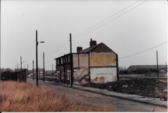
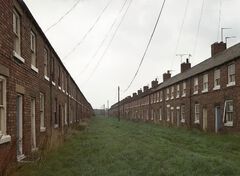
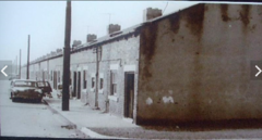
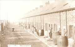
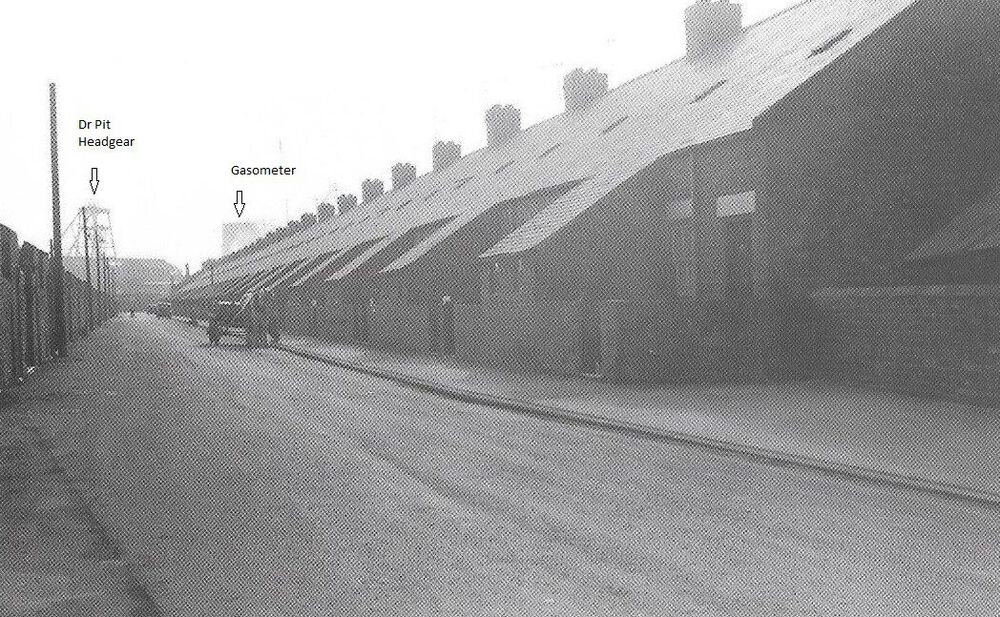
Probably the building work was not completed until after the 1871 census. Number 49 was bigger than the others because it was the undermanager’s house. In the 1911 census, Thomas Croudace, the Dr Pit undermanager was living there. His son, Charlie Croudace was the colliery manager for many years until 1955 when he was succeeded by George Hetherington. The pay office was built onto the gable end of No 49 where I received my first week’s pay of just over £4 in 1957.The building dates and number of houses of all the rows according to Stephen Martin’s book on Bedlington are as follows- Cross Row. 12 houses built in 1855 to accommodate the shaft sinkers. Shiney Row – 1870, 49 houses. Doctor Terrace – 1874, 49 houses. New South Row – 1886, 24 houses. Telephone Row – 1886, 20 houses. North Terrace - 1906, 50 houses. A total of 204 families.
-
-
You can see from this angle that there was quite a large extension to the hall not visible in the first photo.


.png.8ed7f3d4753c93e5f45344da507f8d26.png)
.thumb.jpg.7bbe60129fa802cc51959267a61a0cc7.jpg)
